
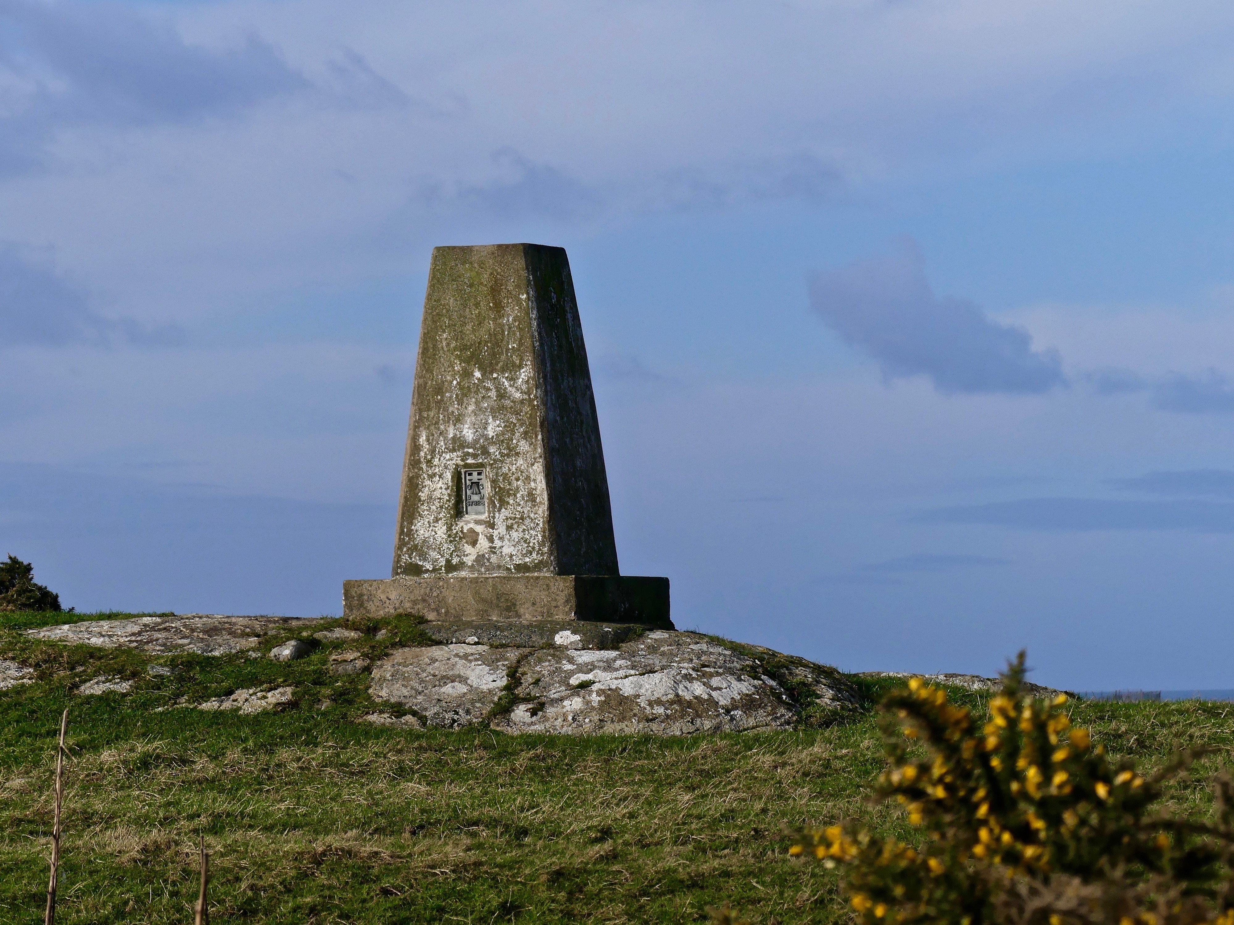
I noticed this the other day and it wouldn’t surprise me to realise I’m probably in the minority, not knowing what it was. I’m amazed I haven’t seen one before, maybe I have and it didn’t register, but anyway thanks to good old Google I now know it’s a triangulation pillar used originally as a surveying station for improved and accurate map making and built by the original Ordnance Surveyors.
Apparently 2016 was the 80th anniversary of the first ‘trig pillar’ being used in Northamptonshire. Hundreds have been lost from the initial number of well over 6,000, due to factors such as coastal erosion and development of the land. Nowadays they’re mostly used as navigational aids.
This beautiful image (courtesy of Fotolia) is a trig point on Little Solsbury Hill overlooking the city of Bath.


What a wonderful little bit of history, Cathy!
LikeLiked by 1 person
Thanks, June 🙂
LikeLike
Well, I never knew that! Thanks for sharing, Cathy.
LikeLiked by 1 person
Glad I’m not the only one then, Shelley 😉
LikeLiked by 1 person
I have seen these before and never knew this either – thank you for sharing this Cathy! I hope you are having a great week and much love to you and Finn xxx
LikeLiked by 1 person
My pleasure 🙂 Having a good week, thank you 🙂 Much love to you, Eivor and Pearl xxx (We must have cross posted :-D)
LikeLiked by 1 person
Haha, it looks like we have :o) Thank you for all the love xxx
LikeLiked by 1 person
Thank you too 😀 xxx
LikeLiked by 1 person
Fascinating! I was unfamiliar with these, but my muse is already off conjuring story ideas!
LikeLiked by 1 person
Oh well done 🙂
LikeLiked by 1 person
I didn’t know that either. Now I do. 🙂
LikeLiked by 1 person
🙂
LikeLike
Well, how fascinating! (I didn’t know either!) 🙂
LikeLiked by 1 person
Seems I’m in good company 🙂
LikeLiked by 1 person
Hmm. I’ve never heard of these. Thanks for this post. 🙂
LikeLiked by 1 person
You’re welcome 🙂
LikeLike
Hi Cathy! I never would have known this – thanks for sharing and thank goodness for all the people out there who are good in math and can triangulate!
LikeLiked by 1 person
Absolutely, Barbara 🙂
LikeLiked by 1 person
Well well! There is one of these in the middle of the woods near my house and I had no idea what it was. We call it all sorts of weird things but I wouldn’t of thought of that! Thank you!!
LikeLiked by 1 person
There you go! Glad I could help ;-D I bet we’ll be seeing them everywhere now!
LikeLiked by 1 person
This is an interesting bit of history. I love castles, ruins, standing stones, stone circles…and I have never heard of this. Thank you for enlightening us. (So…you’re not in the minority on this one, I see.) 🙂 Was this one near Bath, too? Or is that just the second photo. Can’t quite tell.
LikeLiked by 1 person
I really thought I would be in the minority, glad I’m not though. The second photo is the Bath, the first is on Anglesey.
LikeLiked by 1 person
Thanks for solving the mystery, Cathy. There are the remains of one on Swansea seafront. Now I know what it is.
LikeLiked by 1 person
I was intrigued when I saw the one in the first photo. Google does come into its own now and again 😉
LikeLiked by 1 person